
Falcon Shield
Leonardo's modular counter-UAS system that detects, tracks, identifies and defeats Class 1 drone threats at ranges up to 5 km across fixed, relocatable and mobile installations.
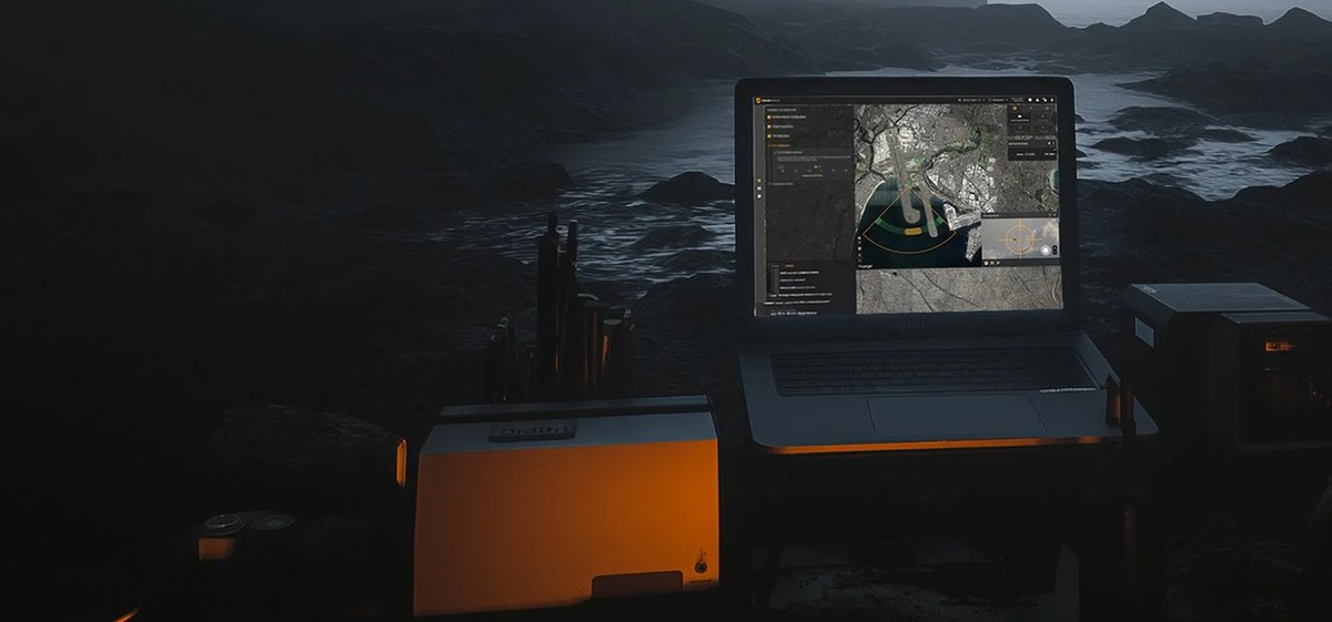
Falcon Shield is Leonardo Electronics' field-proven Counter-Uncrewed Aerial System (C-UAS), purpose-built to address the growing threat from low, slow and small unmanned air systems operating in both civil and military airspace. The platform integrates four complementary sensor and effector technologies — radar, Electronic Surveillance Measures (ESM), Electro-Optical (EO) cameras and Radio Frequency (RF) electronic attack — under a single Command, Control and Situational Awareness (C2SA) software environment, giving operators a consolidated recognised air picture with minimal workload.
The system is deployed for the protection of military bases and forward operating positions, critical national infrastructure such as power stations and ports, civil airports and air traffic zones, and high-profile public or government events. The modular open architecture allows the configuration to be sized from a man-portable rapid-deployment kit — suitable for convoy protection or temporary event security — through to a fully distributed fixed installation with mast-mounted sensors covering a wide-area perimeter. A Mobile Surveillance Vehicle (MSV) variant integrates C2SA into a vehicle with trailer-based mast systems for extended sensor reach in the field.
For procurement engineers evaluating C-UAS platforms, Falcon Shield's key differentiator is the layered sensor fusion: radar provides active detection out to 5 km; the Metis Skyperion ESM passively detects drone and ground-control-station RF emissions across 30 MHz to 8 GHz without emitting a detectable signature; the NERIO-ULR gyro-stabilised EO payload with high-resolution thermal and visible cameras provides positive identification and evidential recording at 4 km; and the Guardian-EA directional jammer delivers narrow-beam electronic defeat — covering 400 MHz to 6 GHz — with low collateral effect. The C2SA system runs AI-assisted machine-learning classification, automated track association and a geospatial interface for accurate geolocation of both drone and ground-control-station positions. Interoperability is built in via open-standards IP, ASTERIX, SAPIENT and Data Link 16 interfaces, enabling federation with existing air-defence or air-traffic management infrastructure — relevant for GCC airports and military facilities operating mixed sensor networks.
Technical specifications.
| Radar detection range (Class 1 UAS) | 5.0 km |
| ESM detection range (Class 1 UAS) | 1.5–4.0 km |
| EO identification range (Class 1 UAS) | 4.0 km |
| Guardian-EA RF jamming coverage | 400 MHz – 6 GHz |
| ESM frequency coverage (Metis Skyperion) | 30 MHz – 8 GHz |
| Radar coverage | 360° continuous or sector |
| EO payload | NERIO-ULR gyro-stabilised, thermal + visible + eyesafe laser rangefinder |
| Target class | Class 1 UAS (low, slow, small) |
| Deployment configurations | Fixed, relocatable, mobile (MSV), man-portable |
| Operational modes | Silent (passive sensors only) and Active (all sensors) |
| Defeat modes | Soft-kill (directional RF jamming, GNSS denial, video datalink disruption); optional hard-kill (laser, kinetic) |
| C2 interfaces | IP, ASTERIX, SAPIENT, Data Link 16 |
Use cases.
- ›Airport and airfield perimeter protection — enforcing no-fly zones and detecting unauthorised UAS in civil and military air traffic zones
- ›Critical infrastructure security — power stations, ports, logistics hubs and government facilities requiring persistent wide-area drone surveillance
- ›Military base and forward-operating-position protection against reconnaissance, payload-carrying and kamikaze-type UAS
- ›High-security public events and government gatherings requiring a rapidly deployable, low-collateral-effect counter-drone screen
- ›Mobile convoy and on-the-move protection using vehicle-integrated C2SA with mast-mounted sensor suite
- ›Border and maritime surveillance integrated into existing national air defence or UTM networks via standard digital data links
Replacements & compatible alternatives.
Comparable Counter-UAS & Base Air Defence from other suppliers. Cross-shop on specs — confirm exact fit and compatibility with the supplier before specifying.