
IRIS
Portable 3D drone-detection radar with 360° coverage, micro-Doppler AI classification, and on-the-move capability in a 29 kg field-deployable package.
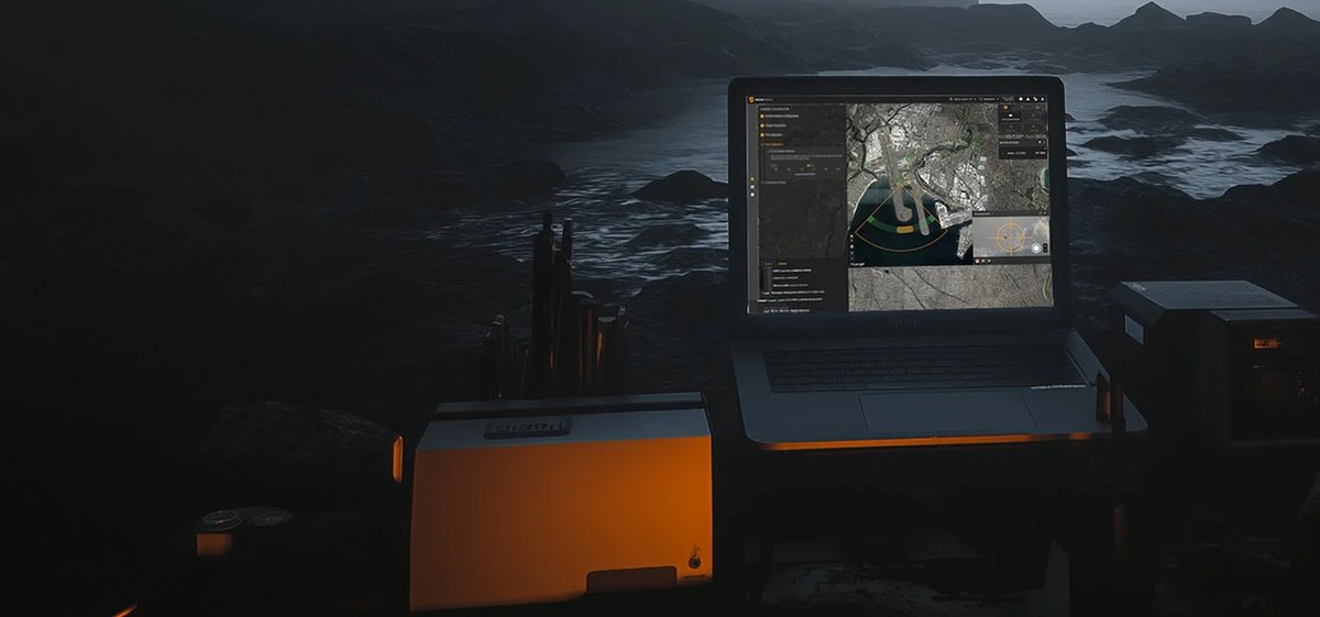
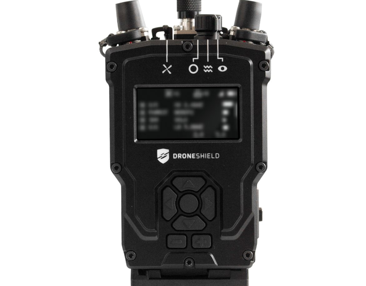
IRIS is a compact FMCW X-band counter-UAS radar that delivers full 3D situational awareness across a 78 km² footprint from a sensor small enough to carry by hand. It rotates at 30 rpm for a one-second scan cycle, combining 360° azimuth with 60° elevation coverage to produce accurate height data on every detected track — not just bearing and range.
The system is aimed at operators who need dependable drone detection at fixed infrastructure — airports, critical national infrastructure, government facilities, forward operating bases — and at mobile forces who need the same capability on a vehicle convoy. The on-the-move (OTM) module allows IRIS to detect, track, and classify targets while the host vehicle travels at up to 100 km/h, making it one of the few radars in its class that works while moving.
Classification is where IRIS differentiates itself from lower-tier sensors: micro-Doppler signal processing extracts blade-rotation signatures, while a deep neural network (DNN) layer cross-references those signatures against learned drone patterns. Together they suppress bird false alarms and distinguish fixed-wing drones from multirotors and loitering munitions. The Long-Range Mode (LRM) software upgrade extends the instrumented range from 5 km to 12 km without hardware changes — a significant operational multiplier for airspace security teams protecting large perimeters.
Deployment is designed to take under 15 minutes by a single operator using the optional tripod, vehicle mount, or building bracket. IRIS outputs tracks via SAPIENT, XML, ASTERIX, and CoT interfaces, fitting natively into existing C2 and multi-layer C-UAS architectures. It is tested and certified against STANAG 4370 and MIL-STD-810H environmental standards and is ISO 27001 and ISO 9001 compliant — requirements increasingly demanded by both defence customers and critical-infrastructure procurement teams across the GCC.
Technical specifications.
| Technology | FMCW |
| Frequency | X-Band (8775–9100 / 8975–9300 / 9500–9800 MHz) |
| Rotation / scan speed | 30 rpm / 1 s update |
| Instrumented range (standard) | 5 km |
| Instrumented range (LRM) | 12 km |
| Azimuth coverage | 360° |
| Elevation coverage | 60° |
| Elevation accuracy | 1° |
| Range accuracy | 0.6 m (2 ft) |
| Angular accuracy | 0.6°–0.75° |
| Classification method | Micro-Doppler + Deep Neural Network (DNN) |
| Coverage area | 78 km² |
| On-the-move speed (OTM) | Up to 100 km/h |
| Max simultaneous targets tracked | Up to 100 |
| Compliance | ISO 27001, ISO 9001 |
| Power output | 12 W |
| Data interfaces | SAPIENT, XML, ASTERIX, CoT |
| Export classification | Dual-Use (EU Directive 2021/821) |
| Power rating (nominal/max) | 253 W / 600 W |
| IP rating | IP66 |
| Operating temperature | -46°C to +50°C |
| Environmental testing | STANAG 4370, MIL-STD-810H, NPSA Rated |
| Dimensions (Dia. × Height) | 550 mm × 630 mm |
| Weight (excl. tripod) | 29 kg |
Use cases.
- ›Airport and airfield perimeter security — detecting and classifying unauthorised drones before they enter restricted airspace
- ›Critical national infrastructure protection — ports, energy facilities, government buildings requiring persistent 3D airspace coverage
- ›Mobile counter-UAS — vehicle-mounted OTM operation for convoy protection or rapid deployment to temporary sites
- ›Defence and military base protection — C2-integrated early warning feeding effectors in multi-layer C-UAS networks
- ›Major event security — rapid tripod or vehicle deployment for temporary perimeter coverage at high-profile gatherings
- ›Long-range surveillance (LRM mode) — software-selectable 12 km range for large airspace volumes such as international airport ATZ buffers
Replacements & compatible alternatives.
Comparable Counter-UAS & Base Air Defence from other suppliers. Cross-shop on specs — confirm exact fit and compatibility with the supplier before specifying.