
MAX
Flagship 3D avian radar delivering 15 km, 360° bird and bat detection with market-leading 60 rpm rotation for airport wildlife hazard management and wind farm ecology.
MAX is Robin Radar's highest-performance avian radar, designed for permanent installation at airports, airfields, and wind energy sites where continuous, quantified wildlife hazard data is an operational and regulatory requirement. It operates as an FMCW solid-state X-band system, rotating at 60 rpm — twice the speed of many competing avian radars — to deliver one-second track updates across a 15 km instrumented range and full 360° azimuth with 60° elevation coverage.
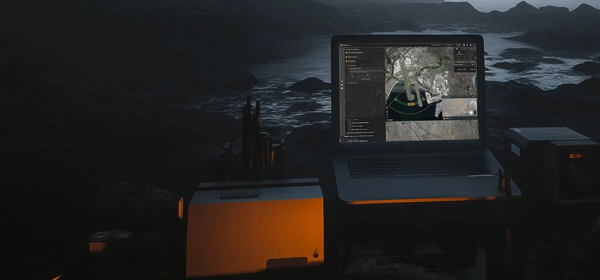
At airports and airfields, wildlife hazard management programmes depend on knowing not just that birds are present but where they are in three dimensions, how many, how large, and which direction they are moving. MAX provides all four simultaneously: it tracks thousands of individual birds concurrently, classifies them by size category (large, medium, small, micro), and delivers accurate altitude data on every track. This feeds the Bird Viewer interface for real-time situational awareness by the wildlife management or ATC team, and the Report Viewer platform for post-event trend analysis, seasonal migration modelling, and regulatory Environmental Impact Assessment (EIA) reporting.
For wind farm operators, MAX integrates with the optional Shutdown on Demand (SDOD) plug-in, which connects to site SCADA systems and issues automated turbine curtailment recommendations when bird or bat activity crosses operator-defined thresholds — minimising both collision risk and unnecessary production loss. The system is deployable at demanding offshore and remote sites via the optional micro-shelter, which houses the antenna, server rack, transformer, and weather station in a single weatherproof enclosure.
MAX sits at the top of Robin Radar's avian product range, differentiated from lighter sensors by its instrumented range (15 km vs shorter-range competitors), its 60 rpm rotation speed, and its dual-software ecosystem. For GCC airports operating in high-temperature environments, the -25°C to +55°C operating band and IPX6 ingress protection are relevant procurement criteria.
Technical specifications.
| Technology | FMCW, Solid State |
| Frequency | X-Band (8800–9075 / 9000–9275 / 9525–9775 MHz) |
| Instrumented range | 15 km |
| Beam width | 1.8° × 60° |
| Azimuth resolution | 1.8° |
| Range resolution | 5.8 m (19 ft) |
| Elevation coverage | 60° |
| Rotation / scan speed | 60 rpm / 1 s update |
| Large bird detection range | 10.0 km |
| Medium bird detection range | 8.0 km |
| Small bird detection range | 4.0 km |
| Micro bird detection range | 3.3 km |
| Classification | Bird and bat size classification (4 categories) |
| Optional modules | SDOD (SCADA wind turbine shutdown), Micro-Shelter, Trailer |
| Software | Bird Viewer (real-time) + Report Viewer (historical analytics) |
| Export classification | Dual-Use (EU Directive 2021/821) |
| Power (continuous) | 44 W |
| Power supply | 207–253 VAC, 50–60 Hz |
| Ingress protection | IPX6 |
| Operating temperature | -25°C to +55°C |
| Dimensions (W × D × H) | 1237 × 654 × 1660 mm |
| Weight | 325 kg |
Use cases.
- ›Airport and airfield wildlife hazard management — continuous 3D bird tracking to support ATC safety decisions and reduce bird-strike risk
- ›Regulatory EIA compliance — providing verified altitude, size, speed, and direction data to satisfy environmental impact assessment requirements for new infrastructure
- ›Wind farm bird and bat protection — automated SCADA-linked turbine shutdown on demand when avian activity exceeds safe thresholds
- ›Seasonal migration monitoring — long-term data logging and trend analysis for wildlife management policy and licence conditions
- ›Offshore wind and remote site deployment — micro-shelter configuration for challenging environments including marine exposure
- ›Military and civil airfield combination use — avian radar that also contributes to wider low-altitude airspace picture alongside drone detection systems
Replacements & compatible alternatives.
Comparable Counter-UAS & Base Air Defence from other suppliers. Cross-shop on specs — confirm exact fit and compatibility with the supplier before specifying.